About the project
What do we want to achieve with this project?
We want to better understand the magnitude of the illegal logging problem in Suriname. The specific questions that we like to answer are:
1: What is the distribution and occurrence of illegal logging in Suriname?
2: What types of wood are preferred for illegal logging?
3: What forest degradation/damage is associated with illegal logging?
How is this project linked to national and international goals?
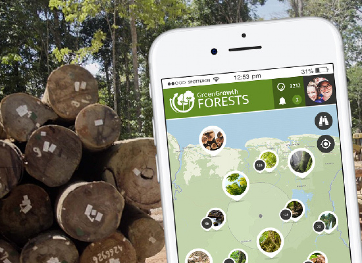
The Green Growth Forests App will deliver data that will give local authorities a data set to complement the ongoing national forest monitoring effort. This is especially important in a country with relatively low amounts of data and a small pool of scientists. By actively participating in the App, people will get more interested in forest conservation in Suriname, and ultimately become active as the next generation conservation leaders and champions.
App Usage
What if I lost connection during uploading?
You can take data points when you are offline and then upload them when the connecting has been (re-)established. Please mind, that once you have a connection you will have to submit your entries in the app yourself.
How do I make sure the location of my entry is correct?
After you have downloaded the app, it will ask for permission to use your location. You should permit the app to use your location services. In the settings menu of your phone these location services should be enabled for the Green Growth Forests App.
When you open the app to start an entry it will take a moment for the app to establish your GPS location. You could help the app verifying your location by clicking on the compas icon in the right hand corner on the map in the app. When you click this compas icon, the app will zoom in on your location. Please make sure you are on a steady location when uploading. Entries from a moving vehicle might show up on different locations because of GPS data loss.
How can you remove your entries from the App database?
If you want to delete individual entries or your entire record, please write an email to This email address is being protected from spambots. You need JavaScript enabled to view it.
Who can you contact if you have questions about the project?
If you have any questions or comments, please do not hesitate to contact This email address is being protected from spambots. You need JavaScript enabled to view it. Your email will be answered as soon as possible.
Does the organization get any financial benefit from hosting the app?
The project is funded by external donors and has a non-commercial goal.
Data Management and Release
How do I know if my data will be used?
Once your entry has a green checkmark next to it, this means your entry could be used for science. All entries are published on this website and are available in the app.
What happens with the collected data?
You will have to be able to see your contribution and those from others on the interactive map. The combined data will be released monthly: a summary table of data points is available to anyone and can be downloaded from this website for free. When the data is used for a school or research project, we would greatly appreciate a reference to the project. Your personal data are strictly confidential and will not be passed on to third parties.
How is the data screened?
After the data has been collected, we will check it on errors, such as completeness, filtering out unusual data points, and contacting participants about unusual data points. We consider all data valid, but we will flag the data points that are unlikely to correspond to the real world.